
Map projection · distortion · graticule · Tissot indicatrix · geographic layers
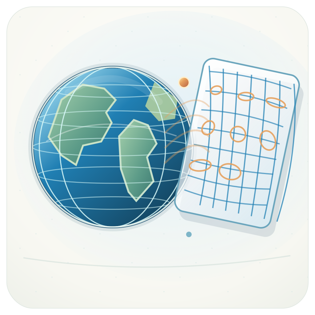
World as Relation examines how map projections transform the geography of Earth. A shared global reference geometry moves across different projection systems, making area, scale, shape, and directional relationships visible.

- Projection families: cylindrical, pseudocylindrical, azimuthal, conic, equal-area, conformal, compromise, and interrupted.
- Projection catalog: search projection names and select a cartographic representation.
- Side-by-side comparison: compare two projections with synchronized geographic position, rotation, zoom, and data layers.
- Task presets: select projection combinations for relative area, local shape, or visible hemisphere.
- Graticule: study projected meridians, parallels, poles, and interruptions.
- Tissot indicatrices: display reference circles and local deformation ellipses.
- Local metrics: inspect principal scale factors, area factor, and angular deformation at a selected geographic coordinate.
- Interactive navigation: rotate, pan, zoom, reset, and inspect countries or geographic events.
A geographic coordinate (λ, φ) maps to projected coordinates (x, y). The projection Jacobian describes local changes in scale and direction. Principal scales, areal factor, and angular deformation reveal each projection's geometric behavior.
The instrument uses the D3 geographic stack and a spherical-Earth numerical Jacobian. Tissot circles, graticules, and synchronized views allow direct comparison of projection properties.
| Layer | Source | Representation |
|---|---|---|
| World reference | Natural Earth · 1:110m | Generalized land and country geometry |
| Earthquakes | USGS · past 24 hours | Epicentral locations |
| Natural events | NASA EONET | Open natural events |
| Aurora | NOAA SWPC OVATION | Auroral forecast field |
The GeoGeek Observatory source contains the projection workspace and local distortion model.
Instrument: https://geogeeklab.github.io/world-as-relation/
Lab: https://geogeeklab.github.io/lab.html
Instrument record: https://geogeeklab.github.io/records/lab-l12.html
GeoGeek note — a projection is a spatial operator, and every operator has a geometry.